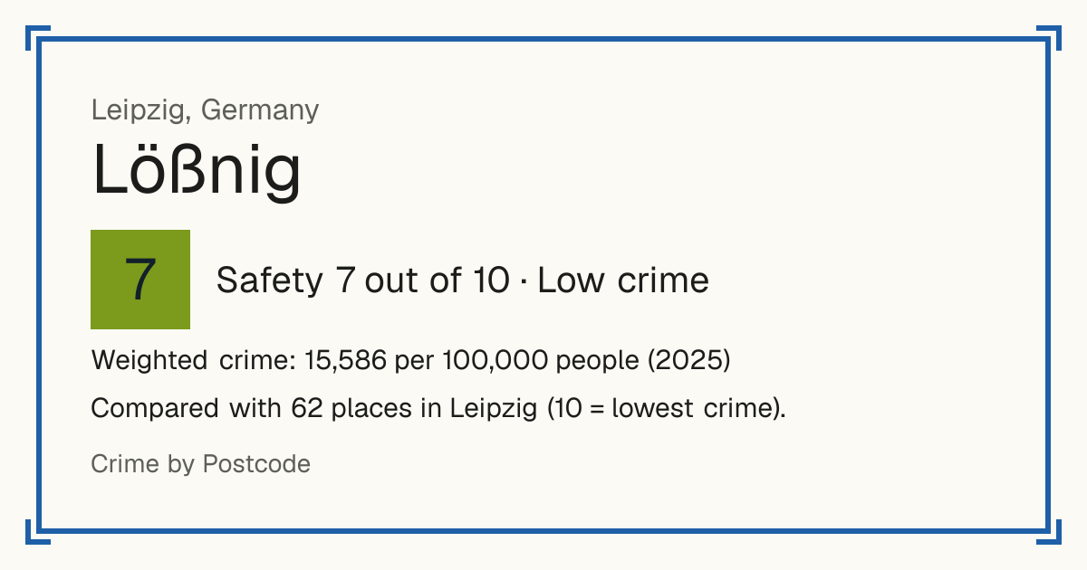
7Lößnig
Lößnig, Germany: crime rate and Safety score
Safety 7 out of 10 Low crime
7/10 in Leipzig · 7/10 in the world
Compared with 62 places in Leipzig (10 = lowest crime). 1 places were left out of the comparison (incomplete figures or very few residents).
Weighted crime: 15,586 per 100,000 people (2025)
Residents: 10,407
How accurate: in 2025, 89% of the 62 neighbourhoods compared scored within 1 of their 2024 score.
Crime by type, as recorded by Stadt Leipzig (2025)
| Type | Count | Per 100,000 a year | All places this source covers |
|---|---|---|---|
| Violence | |||
| Assault | 96 | 922.5 | 1,433.2 |
| Robbery, threats and other violence are not published by Ortsteil. | |||
| Theft and burglary | |||
| Theft | 299 | 2,873.1 | 4,378.9 |
| Other | |||
| Offences against assets | 64 | 615 | 1,394.7 |
| Fraud, embezzlement and similar offences; theft is a line of its own. | |||
Source: Stadt Leipzig, updated 26 October 2026.
Recorded crime by type (2025)
| Violence | 96 |
|---|---|
| Theft and burglary | 299 |
| Other | 64 |
Living
10/10 Living 10 out of 10, compared with other places in the same country.
Raw score 10.0 out of 10, before ranking.
- Schools: 10/10
- Transport: 10/10
- Health: 10/10
- Supermarkets: 10/10
Nearest places
- School: Werner-Vogel-Schulzentrum - Schule mit dem Schwerpunkt geistige Entwicklung der Diakonie Leipzig 340 m
- School: 9. Schule - Grundschule der Stadt Leipzig 610 m
- School: Lene-Voigt-Schule - Oberschule der Stadt Leipzig 630 m
- School: Wilhelm-Ostwald-Schule - Gymnasium der Stadt Leipzig 760 m
- School: Albert Schweitzer Schule 800 m
- Bus stop: Dankwartstraße 130 m
- Bus stop: Dankwartstraße 150 m
- Bus stop: Dürrstraße 310 m
- Railway station: Leipzig-Connewitz 620 m
- Tram or metro stop: Lößnig 220 m
- Doctor or clinic: Praxis Dr. med. Petra Pluntke 280 m
- A&E: St. Elisabeth-Krankenhaus 1.2 km
- Supermarket: Konsum Leipzig 370 m
- Supermarket: PENNY 470 m
Schools count by distance only: there are no inspection grades to use.