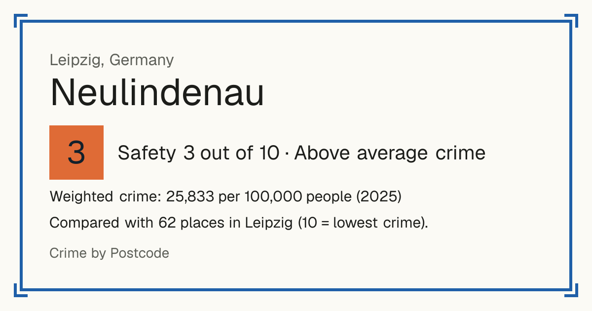
3Neulindenau
Neulindenau, Germany: crime rate and Safety score
Safety 3 out of 10 Above average crime
3/10 in Leipzig · 6/10 in the world
Compared with 62 places in Leipzig (10 = lowest crime). 1 places were left out of the comparison (incomplete figures or very few residents).
Weighted crime: 25,833 per 100,000 people (2025)
Residents: 8,431
How accurate: in 2025, 89% of the 62 neighbourhoods compared scored within 1 of their 2024 score.
Crime by type, as recorded by Stadt Leipzig (2025)
| Type | Count | Per 100,000 a year | All places this source covers |
|---|---|---|---|
| Violence | |||
| Assault | 128 | 1,518.2 | 1,433.2 |
| Robbery, threats and other violence are not published by Ortsteil. | |||
| Theft and burglary | |||
| Theft | 387 | 4,590.2 | 4,378.9 |
| Other | |||
| Offences against assets | 124 | 1,470.8 | 1,394.7 |
| Fraud, embezzlement and similar offences; theft is a line of its own. | |||
Source: Stadt Leipzig, updated 28 October 2026.
Recorded crime by type (2025)
| Violence | 128 |
|---|---|
| Theft and burglary | 387 |
| Other | 124 |
Living
10/10 Living 10 out of 10, compared with other places in the same country.
Raw score 10.0 out of 10, before ranking.
- Schools: 10/10
- Transport: 10/10
- Health: 10/10
- Supermarkets: 10/10
Nearest places
- School: Käte-Duncker-Schule – Grundschule der Stadt Leipzig 420 m
- School: Sporthalle 990 m
- School: Robert-Schumann-Gymnasium 990 m
- School: Johanna-Magdalena-Beyer-Schule – Grundschule der Stadt Leipzig 1.1 km
- School: Stadt Leipzig Schule am Adler 1.3 km
- Bus stop: Demmeringstraße 150 m
- Bus stop: Demmeringstraße 190 m
- Bus stop: Dr.-Hermann-Duncker-Straße 250 m
- Railway station: Museumsbahnhof (Feldbahnmuseum) 700 m
- Tram or metro stop: Plautstraße 180 m
- Doctor or clinic: Kinderchirurgie Leipzig West 640 m
- A&E: Evangelisches Diakonissenkrankenhaus Leipzig 1.3 km
- Supermarket: Netto Marken-Discount 330 m
- Supermarket: Penny 400 m
Schools count by distance only: there are no inspection grades to use.