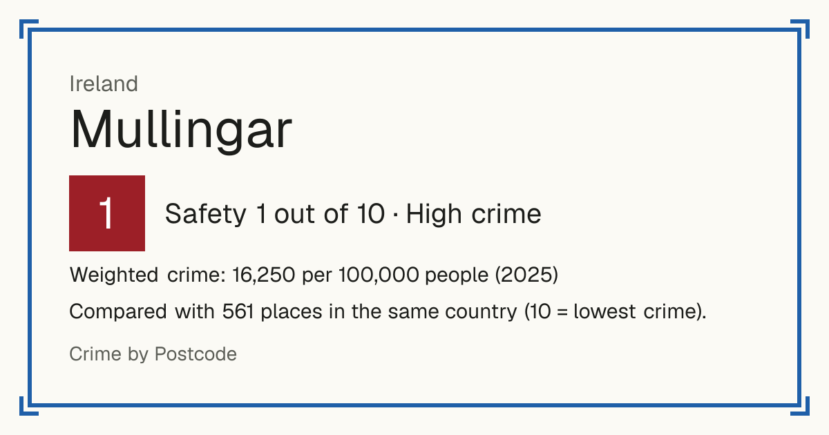
1Mullingar
Mullingar, Ireland: crime rate and Safety score
Safety 1 out of 10 High crime
1/10 in Ireland · 7/10 in the world
Compared with 561 places in the same country (10 = lowest crime). 1 places were left out of the comparison (incomplete figures or very few residents).
Weighted crime: 16,250 per 100,000 people (2025)
Crime by type, as recorded by CSO (2025)
| Type | Count | Per 100,000 a year | All places this source covers |
|---|---|---|---|
| Violence | |||
| Assault, harassment and threats to murder | 235 | 948.8 | 552.7 |
| Includes attempted murder. | |||
| Kidnapping and related offences | 0 | 0 | 3.2 |
| Robbery | |||
| Robbery, extortion and hijacking | 10 | 40.4 | 46.4 |
| Theft and burglary | |||
| Burglary | 37 | 149.4 | 184.6 |
| Theft | 433 | 1,748.2 | 1,604.2 |
| Drugs | |||
| Drug offences | 117 | 472.4 | 353.1 |
| Damage and public order | |||
| Damage to property and the environment | 183 | 738.8 | 443.9 |
| Public order offences | 238 | 960.9 | 680.1 |
Source: CSO, updated 26 October 2026.
Recorded crime by type (2025)
| Violence | 235 |
|---|---|
| Robbery | 10 |
| Theft and burglary | 470 |
| Drugs | 117 |
| Damage and public order | 421 |
Living
10/10 Living 10 out of 10, compared with other places in the same country.
Raw score 7.8 out of 10, before ranking.
- Schools: 9/10
- Transport: 4/10
- Health: 9/10
- Supermarkets: 9/10
Nearest places
- School 990 m
- School: Gaelscoil an Mhuileann 1.6 km
- School: St Kenny National School 1.8 km
- School: Hevey Institute 1.9 km
- Railway station: Mullingar 1.9 km
- Doctor or clinic: Skin & Laser Clinic 1.8 km
- A&E: Midland Regional Hospital Mullingar 2.3 km
- Supermarket: Westmeath Community Development 910 m
- Supermarket: Lidl 930 m
Schools count by distance only: there are no inspection grades to use.